


If you’re considering graduate school in Boston, you might be nervous about transportation. Should you bring a car? How does public transportation work, and is it accessible? Can you get places on foot? In today’s post, we’re going to talk about all of these concerns and more. No matter what form of transportation you use, we hope today’s blog helps you see just how easy it is to get around Boston.
Can I just walk?
Boston is ranked the third most walkable city in the U.S., according to Walk Score. If you love getting your steps in, or you’re simply looking to save money on transportation costs, Boston’s walkability is a huge perk.
For some fun places to walk in Boston, check out Boston Today’s article about most walkable areas. It’s also worth noting that walking around Boston does not mean you’ll be in a concrete jungle! Downtown has the Boston Common, which is a large park full of green space, and surrounding neighborhoods like East Boston and Brookline have plenty of green space.

Do I Need a Car?
In general, you don’t need a car to get around Boston because it is such a walkable city. If you do decide to bring a car, there are a few things you should know about parking.
Unless your housing has off-street parking, you will definitely want a residential parking permit. Parking space in Boston is limited and expensive, so the city has spaces reserved exclusively for residents. With a resident parking pass, you can access those spaces and avoid the hassle of metered or 2-hour parking. To get a residential parking permit, you’ll need to get your car registered in Massachusetts and have proof of residence in the state.
What public transportation does Boston have?
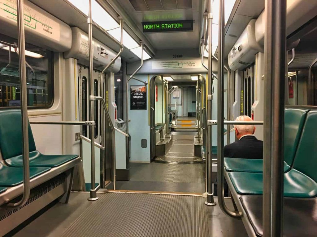
Boston’s public transportation is run by the MBTA, or as locals call it, the “T.” Boston’s public transportation system is a combination of subways and above-ground trains, buses, and even ferries. The T’s subway system has color-coded branches: the Green, Red, Orange, and Blue lines. Located in the heart of Boston, Emerson is just a five-minute walk from the T.
Boston also has a bus system and a commuter rail. The buses are helpful if you aren’t within walking distance from a T stop. The commuter rail is great if you live outside the city since it extends farther out from the city than the T does.
If you have a disability and are worried about public transportation being inaccessible to you, the MBTA also offers the RIDE. The RIDE is a door-to-door shared-ride paratransit system that you schedule 1-5 days in advance. The MBTA has also begun partnering with ridesharing apps Uber and Lyft for a program called the RIDE Flex. With this program, users pay a base co-pay of $3 for Uber and Lyft trips, and the MBTA will subsidize the rest, up to $40. RIDE Flex allows users to schedule rides on-demand, rather than days in advance.
For more information about accessible public transportation options, contact the MBTA’s Mobility Center.
Is it hard to learn the transportation system?
When I first moved to Boston, I felt overwhelmed, thinking I had to learn every stop on every branch of the T to get around. That’s not the case at all! It’s good to have a sense of which branches go where, but don’t feel like you need to memorize the entire MBTA map. If you have Google Maps or Apple Maps, they will tell you exactly which station to find, which train to catch, and where to get off or transfer to a new train.
If you ever get confused, MBTA workers are always happy to help you figure out where to go. In fact, in the fall when many students are moving to the city, the MBTA has extra workers circulating in the T stations so people can ask questions.

Is public transportation reliable?
Of course, as with any public transportation, there can sometimes be delays. Thankfully, though, you can always download apps that will alert you of delays as soon as they’re reported. I really like using ProximiT, which allows you to choose which T branches or bus lines you receive alerts for. Many people also enjoy using Citymapper, which is very similar to ProximiT. As long as you keep these alerts on, you should be able to plan around delays and get everywhere on time.
Moving to a new place can be stressful, but hopefully, you now feel a little less worried about transportation in Boston. Between Boston’s public transportation and walkability, it’s very easy to get around the city.
Leave a Reply